NI yellow weather warning: snow and ice may cause disruption
and live on Freeview channel 276
The Met Office has forecast wintry showers with snow possible to lower levels, especially in western areas of Northern Ireland.
It is warning of several centimetres of snow in some areas above 200m, with up to 10cm on higher ground.
Advertisement
Hide AdAdvertisement
Hide AdThere is also the risk of lightning strikes at some coastal areas.
The yellow weather warning is in place from 8pm tonight to 11am tomorrow.
There will be fresh to strong westerly winds with frost in sheltered areas and a minimum temperature will be -1 C.
Motorists and users of public transport have been warned that snow and ice may cause disruption to travel.
Advertisement
Hide AdAdvertisement
Hide AdTrafficwatch NI said that salting of roads on the scheduled network considered to be at risk of snow and ice is planned for this evening and overnight.
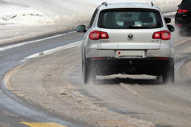

Road users are advised to exercise caution when driving, particularly on untreated roads.
Translink has urged passengers to allow extra time for journeys tonight and tomorrow morning.
The forecast for tomorrow is for sunny spells with further wintry showers during the morning, which will die out in the afternoon.
It will remain cold with fresh westerly winds and a maximum temperature of 5 C.